A family of netcdf parameters enable the user to define how to interpret the netcdf.
Panel
title
New in 3.0.0
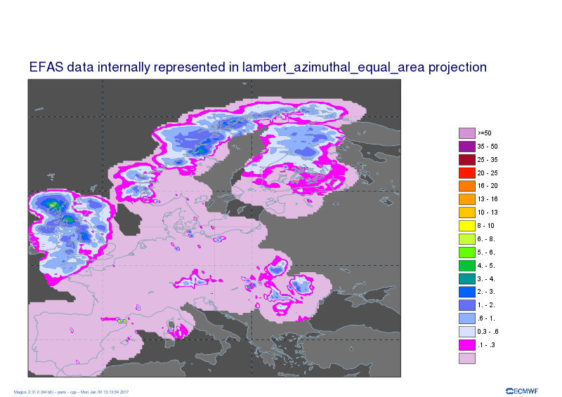
From this version, Magics will offer a easier setting of the NetCDF object.
The principle is to make it aware of some commonly used conventions of NetCDF representations. For example It will try to identify the latitudes and longitudes axis to set-up the geo-referencement.
This is work in progress, and we plan to introduce more of these convention conventions in the next releases.
From this version, Magics can understand data represented in a projection different than the traditional latlon.The NetCDF header should just contain the proj4 string representing the projection used to describe the data. This is still a very early stage, but contact us if you are interested in such a functionality.