Status:Ongoing analysis Material from: Fernando, Linus
| Show If | ||
|---|---|---|
| ||
Discussed in the following Daily reports: |
...
1. Impact
| Excerpt |
|---|
On 23 February the storm Doris hit Ireland and Great Britain and killed at least one person and caused disruptions. |
http://www.bbc.co.uk/news/uk-england-birmingham-39063225
2. Description of the event
The sequence of plots below show satellite images every 3rd hour from 22 February 21z to 23 February 18z.
Satellite images suggest a split of the cold front in the early hours of 23 February (visible when the warm conveyor belt passes over England). This usually occurs when dry (low wet bulb potential temperature) overruns the cold front. There is some evidence in the radar composite from the Met Office. The plots below shows two time frames with 1 hour interval valid for 06 and 07 UTC. The panels on top show the MSG IR imagery and the corresponding radar pictures at the bottom of the page. The thin elongated rain band just behind the low rate precipitation band corresponding to the warm sector suggests the location of the upper cold front (indicated by the black arrows). Just behind (western England & Wales) an active rain band (orange-red colours) is progressing eastwards as result of the possible release of potential instability by the dry air over the moist air at low level (this needs to be confirmed).
Below is analysis chart produced by the Met Office valid for 06UTC showing the surface cyclone located in the Irish Sea and the presence of an upper cold front.
The plot below is taken from Weatheronline site depicting the max wind gust in m/s. Right panel shows the Reading Weather Station at the UoR measurements of wind/gust & direction.
3. Predictability
3.1 Data assimilation
3.2 HRES
By looking at the Simulated Satellite Image products we can see a slightly different finger print of cloud pattern related with the split of the cold front in the model compared to the satellite images above. A much brighter cloud tops in the model contrasts with the shallow convection seen in the real images (warmer cloud tops)
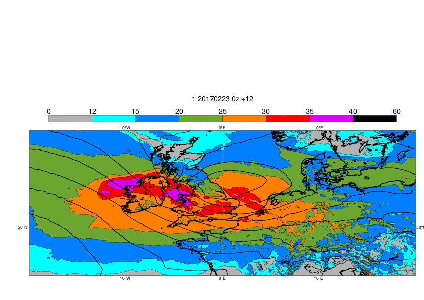
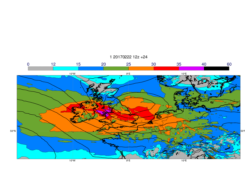
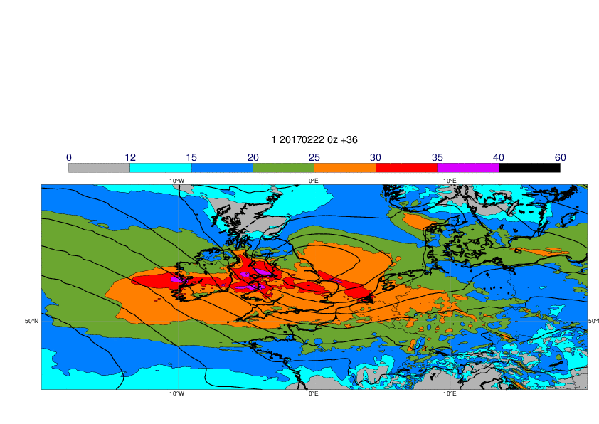
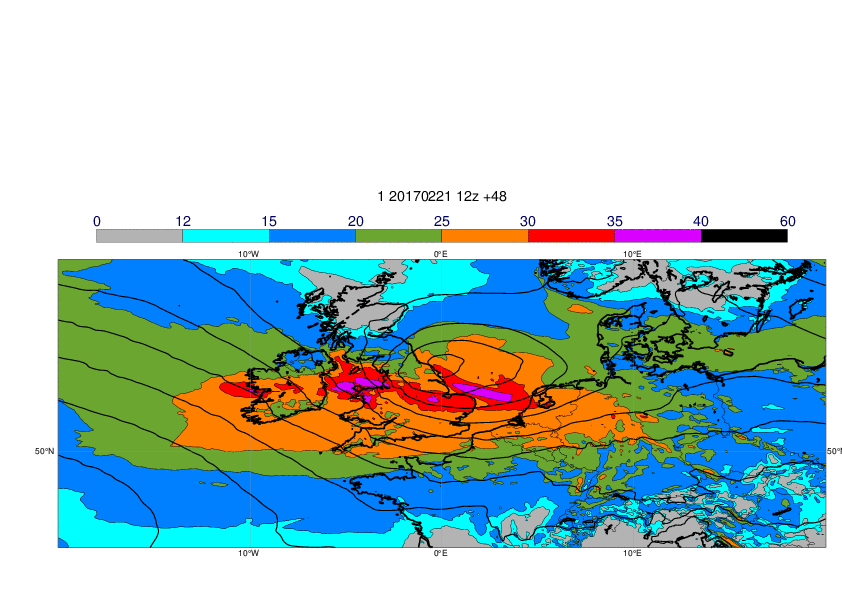
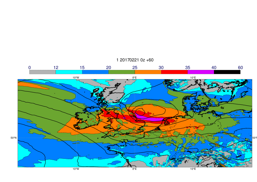
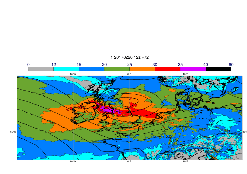
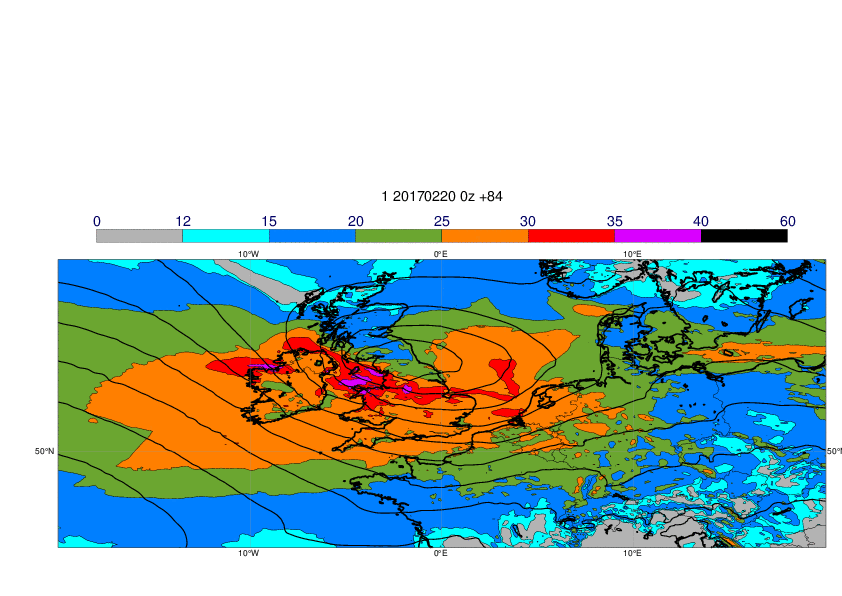
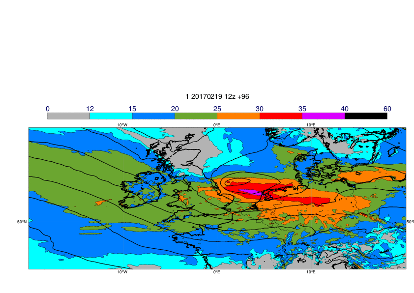
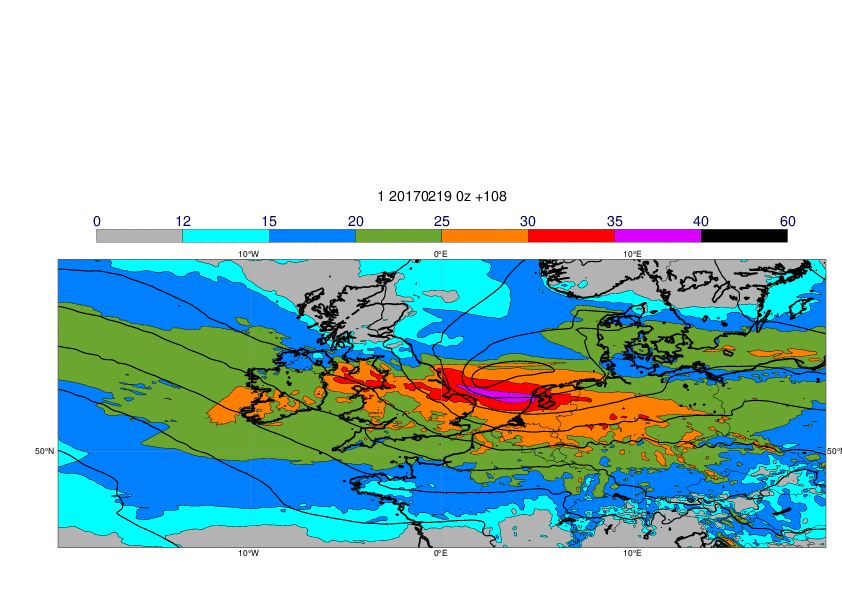
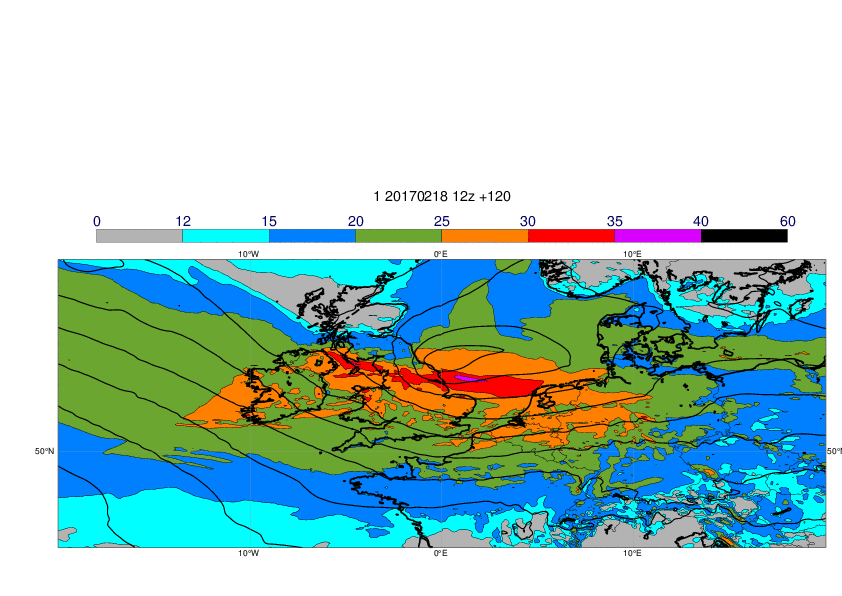
The maps below show 23-hour maximum wind gusts valid 23 February and MSLP valid 23 February 12z. The first plot shows the observed 24-hour maximum gusts.
3.3 ENS
The plots below show EFI and SOT for wind gusts valid 23 February.
...
5. Good and bad aspects of the forecasts for the event
- Good prediction of the risk for extreme gusts 6-7 days in advance
- Uncertainties in the details also in forecast one day before


